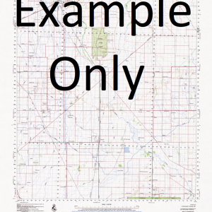
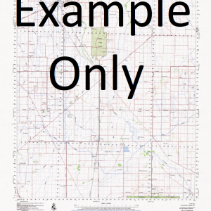
NSW 8933-1S – Merriwa Online
- Estimated Delivery : Up to 4 business days
- Free Shipping & Returns : On all orders over $200
This Topographic Map is produced by the New South Wales Government.
This map is supplied in digital in PDF format, which means it can be printed at home or sent to a professional printer for a 100% scale reproduction.
At this scale, 4cm on this map represents 1km on the ground. A standard map (which is square) covers an area of approximately about 12.5km by 12.5km, with a contour interval of 10m. This map contains natural and constructed features including road and rail infrastructure, vegetation, hydrography, contours, localities and some administrative boundaries.
Hardwyck Banderra Downs Gundebri Parkley Oakley North Court Akanui Hilltop Cullingral Merriglen Netherton Dewrang Worendai Kurrajongsthe Wendouree Kingslyn Marathon Kurraglen Woodlands Calool Dunkeld Heatherbrae Barton Vale Glenrubie Tunbridge Glenburnie Fairview Bebrew Merriwa Battery Hill Berrymans Arm Berrymans Creek The Blowhole Black Gully Black Creek Boggy Gully Buckleys Creek Ginger Beer Springs Glen Levitt Creek Gundibri Harrys Saddle Henderson Hunts Gully Gundibri Station Limestone Gully Merriwa Central School Merriwa Post Office Merriwa Railway Station Ta-Ba-Ta The Battery Vallances Creek Wappinguy Wappinguy Spring Watt Witneys Creek Wyndham Springs Creek Bullers Gully Doolans Creek Doolans Gully Gummun Plains Gungal Creek

