NSW 8725-1S – Numeralla For Sale
- Estimated Delivery : Up to 4 business days
- Free Shipping & Returns : On all orders over $200
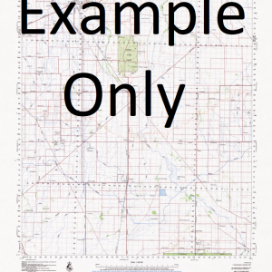
This Topographic Map is produced by the New South Wales Government.
This map is supplied in digital in PDF format, which means it can be printed at home or sent to a professional printer for a 100% scale reproduction.
At this scale, 4cm on this map represents 1km on the ground. A standard map (which is square) covers an area of approximately about 12.5km by 12.5km, with a contour interval of 10m. This map contains natural and constructed features including road and rail infrastructure, vegetation, hydrography, contours, localities and some administrative boundaries.
Bald Hill Bill Kings Creek Carlaminda State Forest Countegany Glen Fergus State Forest Green Creek Guinea Creek Hangmans Creek Hindmarsh Creek Countegany Public School Countigany The Green Gully The Hangmans Creek Kings Creek Lambing Gully Lantooley Creek Lease Creek Lease Gully Long Gully Nuggurrundthurra Creek Numeralla Numeralla Cemetery Numeralla General Cemetery Numeralla Junction Numeralla Mountain Numeralla Public School Numeralla Recreation Reserve Mount Pleasant Rose Valley Stony Creek The Junction Umaralla Umaralla Village Of Umaralla Mountain Undoo Undoo Creek Warrens Corner Whites Point Whitneys Hole Dirty Waterhole Creek Green Gully Boggy Plain Big Badja River Woodend Warreen Kybeyan River
| Title | Pdf Download |
|---|