GA 3445 – Carnegie For Cheap
- Estimated Delivery : Up to 4 business days
- Free Shipping & Returns : On all orders over $200
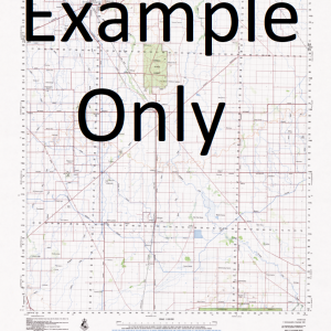
This Topographic Map is produced by Geoscience Australia; Australia s national geospatial organisation.
GA topographic maps (many of which are produced in partnership with the Army) are generally older than those maps produced by the State Governments over the same area. This makes GA maps particularly useful for identifying historic features, such as old mines and diggings.
Geoscience Australia maps generally considered to be more pleasing in design and compilation then the more modern State Government productions.
At this scale, 1cm on this map represents 1km on the ground. A standard map (which is square) covers an area of approximately 54km by 54km, with a contour interval of 20m. This map contains natural and constructed features including road and rail infrastructure, vegetation, hydrography, contours, localities and some administrative boundaries.
Please note the date of the map, as this will impact the currency of information, particularly regarding infrastructure, roads, etc.
Barral Pool Boondin Hill Bulljah Pool Charlie Bore Double Hill Forked Creek Freshwater Bore Gunin Gunin Pool Kalyaltcha Creek Kalyaltcha Waterhole Kalyaltcha Well Kundabiddi Bore Kundabiddi Hill Lady Lawley Range Lynne Bore Milgarrie Creek Milgarrie Pool Mount Courtney Mount Draper Mount Throssel Well Mudarra Soak Mulgarra Pool Toonil Pool Waggon Flat Windidda Creek Windidda Spring Winndero Pool Winndere Pool Toonil Spring Moahngarra Wyndidda Creek Boondin Wyndidda Spring
| Title | Paper, Laminated |
|---|