GA 2839 – Marmion Sale
- Estimated Delivery : Up to 4 business days
- Free Shipping & Returns : On all orders over $200
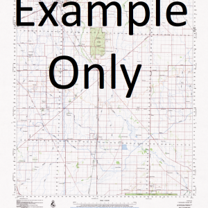
This Topographic Map is produced by Geoscience Australia; Australia s national geospatial organisation.
GA topographic maps (many of which are produced in partnership with the Army) are generally older than those maps produced by the State Governments over the same area. This makes GA maps particularly useful for identifying historic features, such as old mines and diggings.
Geoscience Australia maps generally considered to be more pleasing in design and compilation then the more modern State Government productions.
At this scale, 1cm on this map represents 1km on the ground. A standard map (which is square) covers an area of approximately 54km by 54km, with a contour interval of 20m. This map contains natural and constructed features including road and rail infrastructure, vegetation, hydrography, contours, localities and some administrative boundaries.
Please note the date of the map, as this will impact the currency of information, particularly regarding infrastructure, roads, etc.
4 1 2 Mile Well Airstrip Bore Airstrip Well Auriferous Island Bandy Rock Bulgar Hill Byeang Rock Churchill Bore Gnamma Hole Well Jandy Rock Mckenzies Bore Mcleod Rock Mount Elvire Mount Marmion Native Well No. 1 Bore North Panhandle Bore Panhandle Well South End Bore Ularring Ward Springs White Well Yeedie Hill Yeedie Bulgar Bulgar South East Peak Brooking Hills Pyeang Rock McLeod Rock Auriffrous Island Woolling
| Title | Paper, Laminated |
|---|
Related products
-
GA 3862-4 – Blina Sale
$12.50