GA 2541 – Challa Sale
- Estimated Delivery : Up to 4 business days
- Free Shipping & Returns : On all orders over $200
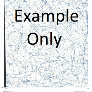
This Topographic Map is produced by Geoscience Australia; Australia s national geospatial organisation.
GA topographic maps (many of which are produced in partnership with the Army) are generally older than those maps produced by the State Governments over the same area. This makes GA maps particularly useful for identifying historic features, such as old mines and diggings.
Geoscience Australia maps generally considered to be more pleasing in design and compilation then the more modern State Government productions.
At this scale, 1cm on this map represents 1km on the ground. A standard map (which is square) covers an area of approximately 54km by 54km, with a contour interval of 20m. This map contains natural and constructed features including road and rail infrastructure, vegetation, hydrography, contours, localities and some administrative boundaries.
Please note the date of the map, as this will impact the currency of information, particularly regarding infrastructure, roads, etc.
19 Mile Bore 2 Mile Well 20 Mile Well 24 Mile Well 34 Mile Well 7 Mile Mill 7 Mile Well Allens Biaga Well Boolgarbardoo Rockhole Boulder Well Brailia Well Breakaway Well Bulgabardoo Well Bullock Well Bunao Rockhole Bundelljinny Dam Bundelljinny Soak Bundelljinny Well Bundy Well Carron Microwave Repeater Station Carron Well Challa Challar Well Chocalocka Well Christmas Bore Christmas Well Comet Well Cooladar Hill Creek Well West Cullaculla Bore Curbura Bore Curbura North Well Curbura South Well Deep Bore Dicks Well Diorite Well Dry Paddock Tank Elise Jay Bore Field Well Gingier Pool Granite Bore Granite Well Harries Bore Hegarties Mill House Bore Jimmys Bore Jimmys Well Jinner Tank Jobelda Gnamma Hole Jones Bore Jones Well Kantie Murdana Hill Karabucka Hill Kerbar Well Knobbie Bore Knobby Mill Kurrajong Bore Kyle Kyle Well Maramby Bore Max Bore Meeline Mingyngura Hill Mitherine Well Moller Well Moodies Mill Mooler East Well Mount Ford Mount Magnet Muntewhy Well Myagar Hill Paddy Bore Pam Well Paynesville State Forest Peach Well Pickleby Soak Poison Paddock Mill Quartz Well Railway Well Ram Well Salt Well Sand Hill Well Sparrow Well Stock Well Top Bundelljinny Well Wandary Bore Wanderoo Hill Warrambu Warrambu Well Warratarra Rock Wheelocks Bore Yackan Yarra Well Yarrie Bore Yarrie Well Bundelljinney Well Bundelljinney Soak Warrambu Station Allens Station Kantie-Murdana Myagar Carron East Mount Magnet Mangar Mount Magnet State Forest Thirty-Four Mile Well Mitherinie Well Walderks Station Well Warratarra Soak Nyagar Bundo Rockhole
| Title | Paper, Laminated |
|---|
Related products
-
GA 6166-1 – Bing Bong Supply
$12.50 -
GA 5366-3 – Birrimba Sale
$12.50