NSW 8827-1S – Oallen Discount
- Estimated Delivery : Up to 4 business days
- Free Shipping & Returns : On all orders over $200
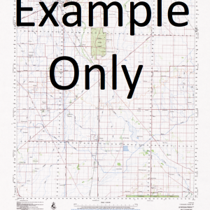
This Topographic Map is produced by the New South Wales Government.
This map is supplied in digital in PDF format, which means it can be printed at home or sent to a professional printer for a 100% scale reproduction.
At this scale, 4cm on this map represents 1km on the ground. A standard map (which is square) covers an area of approximately about 12.5km by 12.5km, with a contour interval of 10m. This map contains natural and constructed features including road and rail infrastructure, vegetation, hydrography, contours, localities and some administrative boundaries.
Big Burney Big Flat Creek Bills Gully Black Range Black Peaks Blightons Creek Boro Boro Creek Box Flat Creek Broken Creek Charleyong Cleft Connies Creek Croppies Gunyah Creek Gate Gully Glenrea Creek Grassy Creek Gwynne Hockeys Creek Jimmy Wrights Gully Croppers Gunyah Creek Flat Creek Hockey s Creek Larbert Larmer Limekiln Creek Little Forest Creek Little Nadgigomar Creek Lower Boro Madeleines Creek Maredied Creek Maredied Gully Mayfield Millendale Creek Millinded Creek Mullens Creek Nadgigomar Ningee Nambla Creek Ningee Nimbell Creek Ningee Nimble Creek Oallen Oallen Creek Oallen Ford Pipeclay Creek Purgatory Hill Roberts Sawpit Gully Skillion Creek Snow Snows Hills Spring Creek Sunset Mountain Tomboye Tom Mc Craths Creek Toms Creek Tortoise Ponds Creek Domenics Creek Burrambowlie Swamp Virginia
| Title | Pdf Download |
|---|
Related products
-
GA 5037-2 – Billy Online now
$12.50